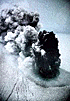
Subglacial eruption in Vatnajokull, Iceland
|
|
The jűkulhlaup culminated at 22:30 hours last night. At that time close to 45.000 cubic m/s flowed from Grâmsvűtn, along a 50 km  Photographs from the jűkulhlaup. The Nordic Volcanological Institute
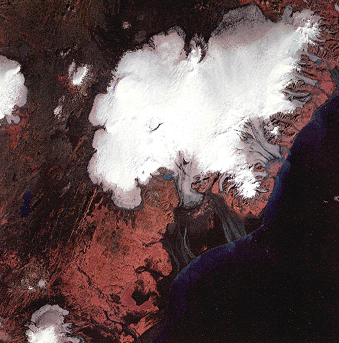
ERS-2 SAR images of the gracier-flood in Iceland. TromsË Satellite Station
Beautiful and clear photoes of jűkulhlaup Morgunbla.*i* (icelandic) Photographs from the jűkulhlaup. The Nordic Volcanological Institute
ERS-2 SAR images of the gracier-flood in Iceland. TromsË Satellite Station
Beautiful and clear photoes of jűkulhlaup Morgunbla.*i* (icelandic)
|


 Tatsuro CHIBA's Home page